This paper refers to a form of topography of Crete, which means a narrative recording of the geography of the island, focusing on the nature of the land and the way it is shaped, alongside with the habitation on the island. It refers, more specifically, to the impact that the perception, and furthermore the interpretation, of the Cretan landscape has on the people that inhabited Crete. The search focuses chronologically, mainly on the beginnings of the Minoan civilization, as the first interpretations by the first organized settlements on the island can, probably, be found there.
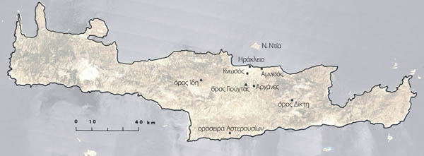
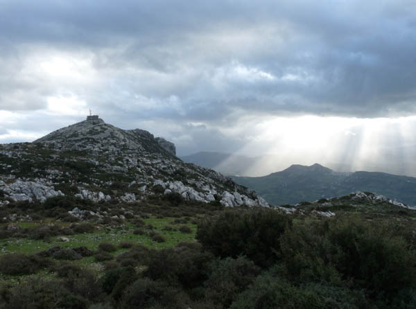
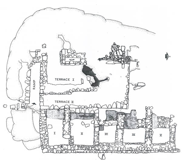
In the context of the research process, a field study is performed in the mountain of Yuhtas, in central Crete, in order to have safer and more accurate results. The locations include places of worship, settlements and places of archaeological and mythological interest. The locations are not studied separately, but according to the degree of interaction between them, depending on their part in the hierarchical system of the Minoan civilization. The field study shall answer to issues that bibliography can’t because of its nature. Such issues are, for example, the visual contact from and to the locations of interest as well as the recording of the terrain and the general surroundings.
This operation is carried out in form of a travelogue in Cretan hinterland and developed through a series of field observations. However, it has to be made clear in this paper that the conclusions derived mainly from the field observations and, as a consequence, are a result of a more personal positioning despite the support from the bibliography.