The spatial planning process for refugee settlements and shelters in the Sahel region of Africa is carried out strictly by international organizations. The latter, recognizing the urgent need for housing and meeting the basic survival needs of the refugees, proceed with temporary planning "solutions", the data and quantitative and qualitative indicators of which put their methodology in jeopardy. At the same time, an ever-increasing number of refugees are displaced from their countries, with the result that there is an immense need to optimize the planning of settlements and shelters. Therefore, this paper presents a triple dimension of both the existing situation (theoretical framework) in terms of numbers and capacity of refugee flows (quantitative indicators to cover respective needs) and spatial intervention tools (at different scales).
More specifically, the first section deals with the analysis of existing policies to mitigate refugee flows and "improve" the living conditions of refugee camps and shelters. This theoretical framework is important on the one hand because it presents the current image of planning of international organizations (and local synergies) and on the other hand it puts the added value of the subsequent thesis into perspective. The second section is invasive by design. Therefore, the shelters (in the first year) and the housing complexes that structure them (in the second) are analyzed in the form of simulations in terms of their environmental conditions (e.g. thermal comfort). The climatic conditions of the study area are an a priori important issue to consider and therefore enter into the design. Finally, and after the analysis of the existing situation has been carried out, the third section proceeds to specific design proposals. Thus, the shelter is redesigned with the optimization of living conditions in mind and is captured both as a self-contained unit and as an extension of a residential complex.
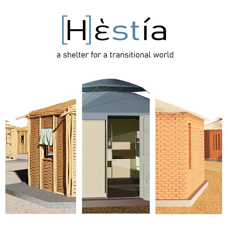
Key-words: Al-Sahel, shelter, settlement, refugees, [H]estia, thermal comfort