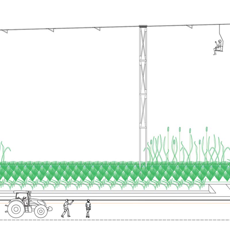
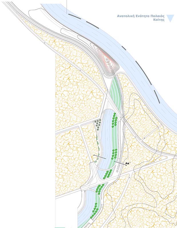
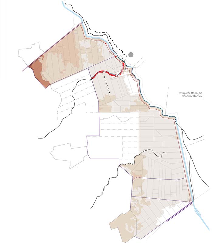
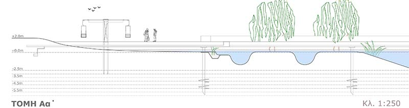
This diploma thesis presents the promotion of recreation experiences in the countryside, combined to the productive activities of the local communities on either side of the route on the riparian embankment zone of the Loudias River. Firstly, after the historiographic layers of the geomorphological rendering of the area are studied, the alteration of the water flows in the hydrographic map until the period of the completion of the land reclamation are revealed. Therefore, Loudias, as an artificial canal, which takes the form of the final receiver of the drained waters of the arable lands, is considered as a component of the agricultural equipment, and gains one-sided functional role for serving the farm production - so it pushes aside the development of further aesthetic functions of the landscape. In that way, the remnants of its tributaries that are seen through its historic engravings, expands into the fields of the lowland inland and interfere with the canvas of the agricultural land’s arrangement, revealing a different typology of a drainage ditch for the surface runoff. So forth, the architectural design attempts the networking of the outdoor recreation practices to the accesses of the hydrological circle’s systems, in order to express the dialogue between the two function qualities of the landscape through the revelation of the viewing optics of the aquatic element into the agricultural territories. This venture emerges through the investigation of a local Scandinavian tradition - through which a ritual for outdoor living – the friluftsliv - considers the intention to go outdoors, approaching a functional frame of practice, as well as a stage of relaxation and recreation.