At this research study, the topic that will be presented, has to do with the network of paths, as there were developed during the 19th century, at the wider area of Mount Pelion.
At the first part, there will be determined the specific area and time, of which the research is interested. To make that possible,there must be considered the geophysical characteristics ofthe area, combined with the administrative separations during the past years. Then follows, the historicflashback, that aiming to find the periods that there were important settlements installations, at the area of Pelion. With this as basic information, it is possible to compare the network of paths with the location and size of that settlements, reaching at the period that where the most developed network paths, of which the research is interested.
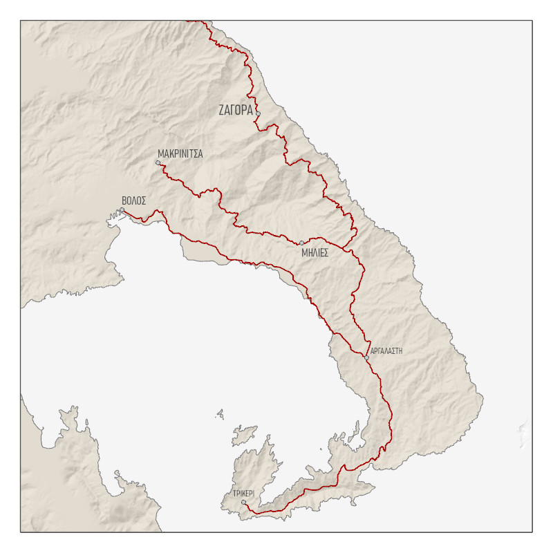
At the second stage, the study is following the interpretation of the written and cartographic sources, that were found at the range of 19th century. At these sources, will occur the depiction of the path network, as this is presented for the area of Pelion. Moreover, there will be gathered the secondary information for the villages and the area separations, which they going to operate in addition to the study.
At the third and last part, there will be presented the conclusions that have generate from the research process of the sources. Therefore, is going to be the categorization of that paths, based on what needs they provide and what was their main use. So, there are distinguish in 4 categories, where their destination where the harbours, religious centres, crop fieldsand the rest of the villages of Pelion.